Roads to Nowhereabandoned highwayabandoned placesmountains
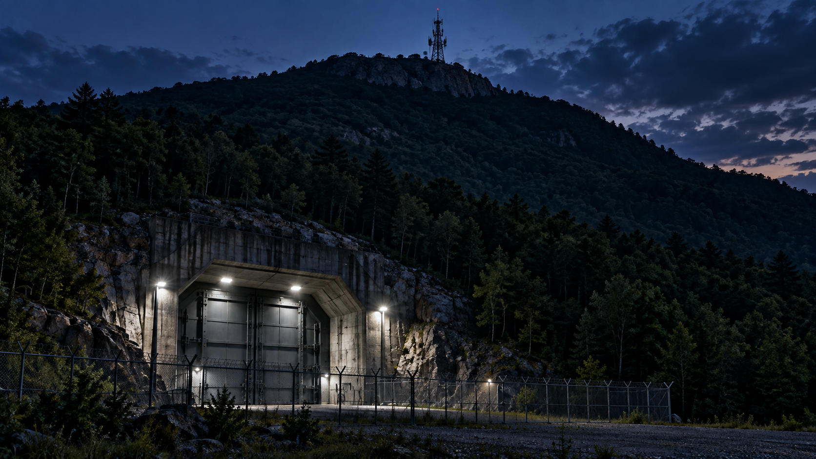
Abandoned mountain highway, Pennsylvania
An abandoned highway in the mountains that is slowly disappearing into the forest.
Every claim sourced
17 claims · 17 sources
0 disagreements logged
0 editorial corrections
Last checked Oct 2, 2026
The story
The numbered claim log below connects facts in this story to their sources.
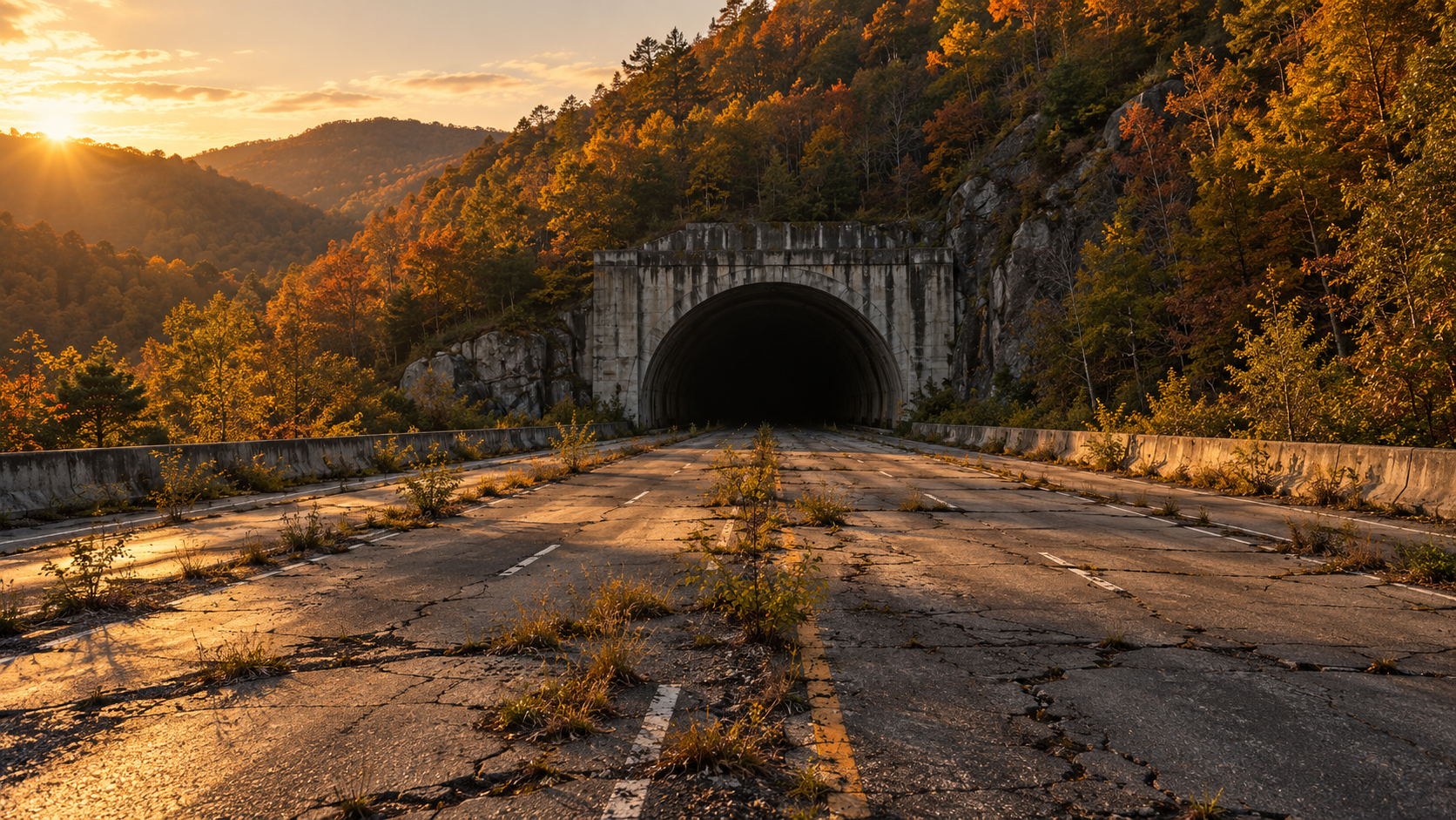
In 1940, the Pennsylvania Turnpike opened as a four-lane highway across the Allegheny Mountains, built largely on the grade of an abandoned 1880s railroad. The route ran through seven tunnels, and at each one, four lanes narrowed to two. Traffic in both directions had to share a single tube. As postwar traffic grew, the tunnels became bottlenecks. The Turnpike Commission bored second tubes at four of them. For Sideling Hill and Rays Hill, east of Breezewood, it built a new stretch of highway over the mountains instead. That bypass opened on November 26, 1968, and about 13 miles of the original Turnpike were left behind, pavement, median, guardrails and all. The Cove Valley travel plaza on the abandoned section was demolished. For years, the empty stretch served as a testing ground for new highway technology. In 2001, the Turnpike Commission handed most of it to the Southern Alleghenies Conservancy, which set out to turn it into a trail. That's when the highway started to stop. In 2005, the Turnpike Commission cut off vehicle access by tearing down two bridges: the overpass that carried the old road across US 30 in Breezewood, and an overpass on Pump Station Road near the old Cove Valley plaza. With both bridges gone, the four-lane highway now ends abruptly at each end, in a hillside above Route 30 and in an earthen berm where a bridge used to be. Between those two dead ends, the road is still there. About 8.5 miles are open as a trail. Grass grows through the cracks in the pavement, faded graffiti covers the barriers, and the road runs through two unlit tunnels that together stretch more than a mile and a half. Past the eastern trailhead, another 3.5 miles still belong to the Turnpike Commission and serve as a service road. That section is closed to the public. It's a four-lane highway with no traffic, no exits and no way in for cars.
Last corrected: no editorial corrections on this page yet.
Grew up near here?
Get the free Pennsylvania guide: every Hidden Current place in the region, with what you can still see and how to get there.
State guides are coming soon. Email signup is not available yet.
Watch the short documentary
Abandoned mountain highway, Pennsylvania
Claim log
| # | Claim | Sources | Status |
|---|---|---|---|
| 1 | The Breezewood parking area is at 39.999881, -78.228380 |
| Sourced |
| 2 | The Pump Station Road trailhead is at 40.04878, -78.09578 |
| Sourced |
| 3 | The Pump Station Road trailhead is at 40.048683, -78.095839 |
| Sourced |
| 4 | Four lanes narrowed to two at each of the seven tunnels |
| Sourced |
| 5 | The bypass opened November 26, 1968, bypassing Rays Hill and Sideling Hill |
| Sourced |
| 6 | A 13-mile stretch was replaced in 1968 |
| Sourced |
| 7 | The Cove Valley plaza was demolished |
| Sourced |
| 8 | The abandoned stretch was used for years to test highway technologies |
| Sourced |
| 9 | 13.5 miles were turned over to the Southern Alleghenies Conservancy in 2001 |
| Sourced |
| 10 | In 2005 the Turnpike Commission demolished the US 30 overpass in Breezewood and the Pump Station Road overpass |
| Sourced |
| 11 | The Commission-owned section is used only by the Commission and State Police |
| Sourced |
| 12 | The trail is about 8.5 miles, between US 30 and Pump Station Road |
| Sourced |
| 13 | The west trailhead is at Tannery Road and US 30, a quarter mile east of Breezewood; the trail starts at the top of the hill |
| Sourced |
| 14 | The east trailhead is on an access road south of the berm where the bridge stood |
| Sourced |
| 15 | The tunnels lack good lighting |
| Sourced |
| 16 | The tunnels lack good lighting |
| Sourced |
| 17 | Older reports describe signs saying the road was officially closed |
| Sourced |
Disagreements logged
No approved disagreements are logged on this page yet.
Submit a disagreement
Disagree with a fact in this story? Submit a source-backed note for editorial review. It stays private until approved and does not automatically become a correction.
Sources
- Uncovering PA
- PA Bucket List
- PA Highways
- Source needs identification
- AARoads
- TrailLink
- Southern Alleghenies Conservancy
- Wikipedia
Corrections
No editorial corrections are logged on this page yet.