
Hidden LandscapesLost RiverIndianacave systems
Lost River, Indiana: The River That Disappears Underground
In southern Indiana, the Lost River sinks into the limestone and flows underground for at least 23 miles before rising again near Orangeville.
Every claim sourced
25 claims · 25 sources
0 disagreements logged
4 editorial corrections
Last checked Oct 3, 2026
The story
The numbered claim log below connects facts in this story to their sources.
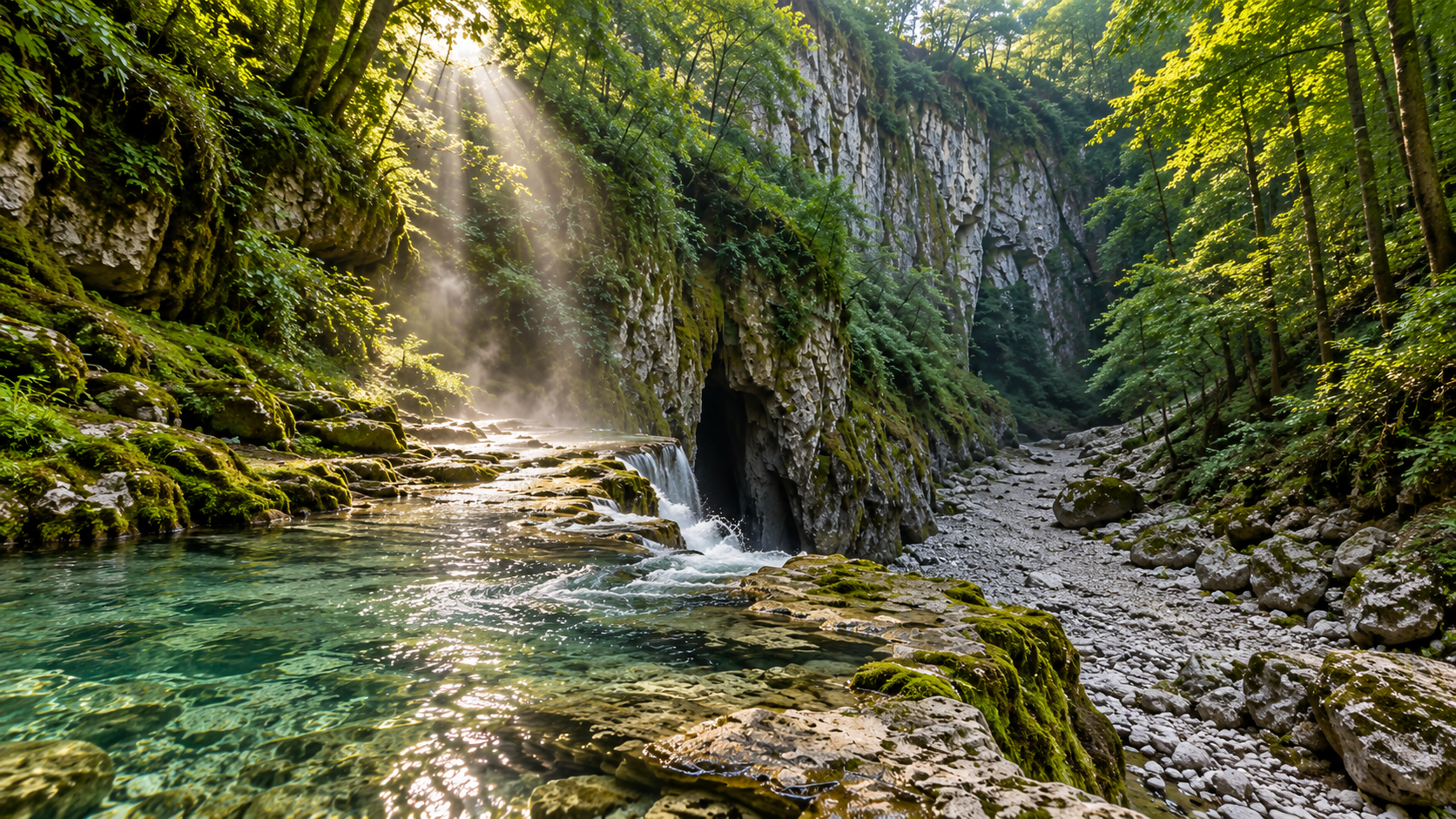
In the farm country of southern Indiana, there's a river that keeps disappearing. The Lost River starts out like any other stream in Washington County and runs about 87 miles before joining the East Fork of the White River. But for at least 23 miles of its main course, it doesn't run on the surface at all. It sinks into the ground and flows through underground channels in the limestone, which is how it got its name. Those channels have never been fully explored, and they may stretch for hundreds of miles. This happens because the land here is karst: limestone bedrock that rainwater slowly dissolves, carving out cracks, caves and sinkholes. On the Mitchell Plain of Orange County, the ground is riddled with them. When the Lost River reaches this area, its water drains down into the rock and keeps flowing underground, while the riverbed above often sits dry. In a few places, the underground river shows itself. The most dramatic is Wesley Chapel Gulf, near Orleans. Long ago, the rock roof over one of the river's underground channels collapsed, leaving a sunken box canyon about 8.3 acres in size, with bedrock walls 30 to 100 feet high. Inside it, the Lost River briefly comes to the surface, then disappears into the ground again. It's probably the largest sinkhole in Indiana, and in 1972 it was designated a National Natural Landmark. The U.S. Forest Service acquired the land in 1996, and it's now part of the Hoosier National Forest. A few miles west, in the town of Orangeville, water wells up from a cave into a rock-walled pool about 220 feet across. This is the Orangeville Rise, the second-largest spring in Indiana, and it was also named a National Natural Landmark in 1972. For a long time, people believed this was where the Lost River came back up. It isn't. The Orangeville Rise drains a separate area of sinkholes and is a tributary. The main river resurfaces about 2 miles south of Orangeville, at a spring known as the True Rise. The Indiana Karst Conservancy has cared for the Orangeville Rise since 1999. Above ground, most of the region looks like ordinary Indiana fields and forest, while the river runs beneath it.
Last corrected: Oct 3, 2026.
Grew up near here?
Get the free Indiana guide: every Hidden Current place in the region, with what you can still see and how to get there.
State guides are coming soon. Email signup is not available yet.
Watch the short documentary
Lost River, Indiana: The River That Disappears Underground
Claim log
| # | Claim | Sources | Status |
|---|---|---|---|
| 1 | Wesley Chapel Gulf is at 38.622452, -86.521906 and is probably the largest sinkhole in Indiana |
| Sourced |
| 2 | Rise at Orangeville is at 38.63115, -86.55711 |
| Sourced |
| 3 | The Lost River is about 87 miles long, and at least 23 miles of its primary course flows completely underground |
| Sourced |
| 4 | The river's underground channels may cover hundreds of miles, as the caverns have never been fully explored |
| Sourced |
| 5 | The Lost River rises in Washington County and flows into the East Fork of the White River |
| Sourced |
| 6 | Wesley Chapel Gulf is an 8.3-acre sinkhole forming a box canyon with 30-to-100-foot bedrock walls, caused by the collapse of the rock roof over one of the river's underground channels |
| Sourced |
| 7 | At Wesley Chapel Gulf the river briefly appears before disappearing below the surface again |
| Sourced |
| 8 | Wesley Chapel Gulf was designated a National Natural Landmark in 1972 |
| Sourced |
| 9 | Wesley Chapel Gulf was designated a National Natural Landmark in 1972 |
| Sourced |
| 10 | Wesley Chapel Gulf is a 187-acre tract in the Hoosier National Forest, about 4½ miles southwest of Orleans and 2 miles east of Orangeville |
| Sourced |
| 11 | The route is 490N about four miles, then south on 350W at Wesley Chapel Church; the gulf is one-half mile on the east, marked by a Hoosier National Forest sign, with parking |
| Sourced |
| 12 | A descending path on the north side of the gulf provides access to the gulf floor |
| Sourced |
| 13 | The Forest Service acquired Wesley Chapel Gulf in 1996 through a land exchange |
| Sourced |
| 14 | Orangeville Rise is the second-largest spring in Indiana and was designated a National Natural Landmark in June 1972 |
| Sourced |
| 15 | Orangeville Rise is the second-largest spring in Indiana, a National Natural Landmark since 1972, and a state-dedicated nature preserve since 1975 |
| Sourced |
| 16 | The Orangeville Rise property is a little over three acres within the town of Orangeville and may be visited at any time |
| Sourced |
| 17 | The Indiana Karst Conservancy acquired the Orangeville Rise in May 1999 from the Nature Conservancy of Indiana and maintains the public parking area |
| Sourced |
| 18 | Orangeville Rise of Lost River Nature Preserve is 3 acres, owned by the Indiana Karst Conservancy, with parking and no trail |
| Sourced |
| 19 | At Orangeville Rise, water emerges from a cave into a rock-walled pit 220 feet across |
| Sourced |
| 20 | The Orangeville Rise is on a major tributary to the Lost River |
| Sourced |
| 21 | The Orangeville Rise is a likely tributary of the underground Lost River; many inaccurately believe it is the main channel |
| Sourced |
| 22 | Dye tests confirmed the water in the Orangeville Rise originated from nearby sinkholes |
| Sourced |
| 23 | The main Lost River surfaces approximately 2 miles south of Orangeville |
| Sourced |
| 24 | The region sits on the highly karstified Mitchell Plain |
| Sourced |
| 25 | Some area locations require permits for entering special areas such as caves |
| Sourced |
Disagreements logged
No approved disagreements are logged on this page yet.
Submit a disagreement
Disagree with a fact in this story? Submit a source-backed note for editorial review. It stays private until approved and does not automatically become a correction.
Sources
- Wikipedia
- Kiddle
- U.S. Forest Service
- mossyfeetbooks.com
- Indiana Karst Conservancy
- Indiana Department of Natural Resources
- onlyinyourstate.com
- Yahoo News
Corrections
| # | Correction | Sources |
|---|---|---|
| 1 | The Orangeville Rise is not where the main Lost River resurfaces; it is a tributary |
|
| 2 | The Orangeville Rise is on a major tributary to the Lost River |
|
| 3 | Dye tests confirmed the water in the Orangeville Rise originated from nearby sinkholes |
|
| 4 | The main Lost River surfaces approximately 2 miles south of Orangeville |
|
More Hidden Landscapes places
- The Desert Hidden Between These Mountains
- Lake Nyos: The Lake That Released a Deadly Cloud in One Night
- Ruby Falls: The Waterfall Hidden Inside Lookout Mountain
- Thor's Well ("the drainpipe of the Pacific")
- Lost Lake, Oregon: The Lake That Drains Into a Hole Every Summer
- Lake Kaindy: The Sunken Forest Drowned by an Earthquake