
Hidden LandscapesBoiling RiverPeruAmazon Rainforest
The Boiling River: The Amazon’s 200-Degree Stream
Peru’s Boiling River runs hot for 6.3 km through the Amazon, averaging nearly 203°F at its hottest. Fault-fed hot springs heat it, not a volcano.
Every claim sourced
15 claims · 15 sources
0 disagreements logged
3 editorial corrections
Last checked Oct 8, 2026
The story
The numbered claim log below connects facts in this story to their sources.
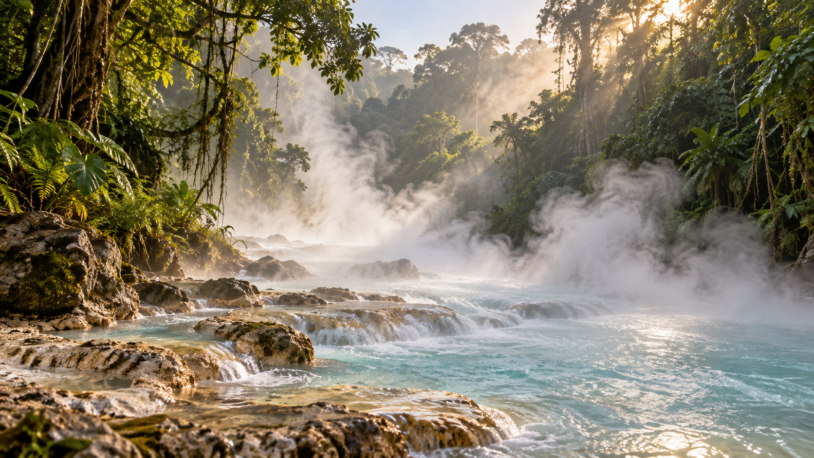
Deep in Peru’s Amazon, in the Huánuco region, a river steams through the rainforest. Its local name is Shanay-Timpishka. It starts out normal. At its headwaters the water is about 81°F, like any jungle stream. Then, along its lower 6.3 km, hot springs pour in, and the temperature climbs. The hottest stretch averages nearly 203°F, and one spring measured 210.4°F, just short of boiling. The river can be up to about 30 meters wide and 4.5 meters deep. Geothermal scientist Andrés Ruzo first heard about the river as a child from his grandfather. Years later, he went looking for it and set out to explain how it could exist. Rivers this hot are usually found near volcanoes, but there’s no active volcano or geothermal vent anywhere nearby. The leading explanation is that rainwater seeps deep into the ground through fault zones. Down there, the Earth’s natural heat warms it. Then it rises back up through hot springs and floods into the river. Local shamans tell a different story. They say the hot water is born from Yacumama, a giant serpent spirit known as the Mother of the Waters. Three communities sit along its banks today. The forest around them is under pressure from deforestation, which makes the river’s protected stretches increasingly rare.
Last corrected: Oct 8, 2026.
Grew up near here?
Get the free state guide: every Hidden Current place in the region, with what you can still see and how to get there.
State guides are coming soon. Email signup is not available yet.
Watch the short documentary
The Boiling River: The Amazon’s 200-Degree Stream
Claim log
| # | Claim | Sources | Status |
|---|---|---|---|
| 1 | Shanay-Timpishka coordinates are 8°48′46″S 74°44′25″W. |
| Sourced |
| 2 | The river is in the Huánuco region, Province of Puerto Inca, District of Honoria, Peru. |
| Sourced |
| 3 | It is a tributary of the Pachitea River. |
| Sourced |
| 4 | The whole river system is about 9 km long, and the thermal portion is the lower 6.3 km. |
| Sourced |
| 5 | The river is about 30 m wide at its widest and about 4.5 m deep at its deepest. |
| Sourced |
| 6 | Headwaters are about 27 °C (81 °F). |
| Sourced |
| 7 | The hottest measured hot spring was 99.1 °C (210.4 °F). |
| Sourced |
| 8 | The hottest recorded average river temperature was nearly 95 °C (203 °F). |
| Sourced |
| 9 | The heat source is geothermal, not volcanic. |
| Sourced |
| 10 | Rainwater sinks through deep fault zones, is heated by the geothermal gradient, and rises through fault-fed hot springs. |
| Sourced |
| 11 | No active volcano or geothermal vent is nearby. |
| Sourced |
| 12 | Andrés Ruzo first heard of the river as a child from his grandfather. |
| Sourced |
| 13 | Local shamans believe the boiling water is birthed by Yacumama, the "Mother of the Waters." |
| Sourced |
| 14 | Mayantuyacu, Santuario Huishtín, and Shanay-timpishka Center are communities along the river. |
| Sourced |
| 15 | The area faces deforestation. |
| Sourced |
Disagreements logged
No approved disagreements are logged on this page yet.
Submit a disagreement
Disagree with a fact in this story? Submit a source-backed note for editorial review. It stays private until approved and does not automatically become a correction.
Sources
- Wikipedia
Corrections
| # | Correction | Sources |
|---|---|---|
| 1 | The river is hotter than "nearly 200 degrees": its hottest average is nearly 95 °C (203 °F), and one hot spring measured 99.1 °C (210.4 °F). |
|
| 2 | Only the lower 6.3 km of the roughly 9 km river system is hot; the headwaters are about 27 °C. |
|
| 3 | The heat is geothermal rather than volcanic, with no active volcano nearby. |
|
More Hidden Landscapes places
- The Desert Hidden Between These Mountains
- Lake Nyos: The Lake That Released a Deadly Cloud in One Night
- Ruby Falls: The Waterfall Hidden Inside Lookout Mountain
- Thor's Well ("the drainpipe of the Pacific")
- Lost Lake, Oregon: The Lake That Drains Into a Hole Every Summer
- Lost River, Indiana: The River That Disappears Underground