
Forgotten AmericaQuabbin ReservoirMassachusettsflooded towns
Quabbin Reservoir: The Four Towns Massachusetts Erased
In 1938, Massachusetts dissolved four towns and moved 7,613 graves to build the Quabbin Reservoir. Their old roads now lie under water and in the woods.
Every claim sourced
40 claims · 40 sources
0 disagreements logged
0 editorial corrections
Last checked Oct 4, 2026
The story
The numbered claim log below connects facts in this story to their sources.
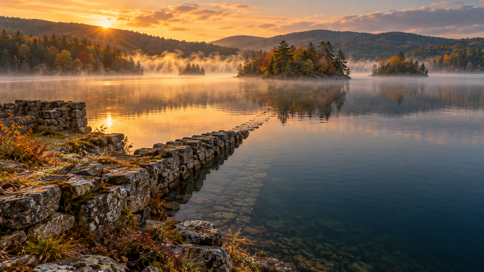
In the early 1900s, Boston was running short of water. Planners looked west, to the Swift River Valley in central Massachusetts, a quiet stretch of farms, mills and villages home to four small towns: Dana, Enfield, Greenwich and Prescott. Settlers had lived in the valley since the 1740s. In 1850, about 3,400 people lived in the four towns. The plan was to flood the whole valley. The reservoir was proposed in 1922, and in 1927 the state legislature passed the Swift River Act, making it law. Just the talk of it had already been driving people away. By 1922, the population had dropped to about 2,400. Over the next decade, the valley was taken apart. Property was bought by the state or taken by eminent domain. About 1,100 structures were removed, including roughly 650 homes. More than 31 miles of railroad were torn up, and 242 miles of road were abandoned. Crews nicknamed "woodpeckers" cleared the valley of trees and brush up to 10 feet above the future waterline. The dead had to move too. The state documented and exhumed 7,613 graves from 34 cemeteries across the valley. Most were reburied in a new cemetery built for the purpose, Quabbin Park Cemetery, dedicated in 1933. Its entrance walls were built with stones taken from the four towns. Some families chose to rebury their relatives elsewhere, at the state's expense. The last residents were ordered out in early 1938. On April 28, 1938, the four towns legally ceased to exist. In Enfield, people gathered for a farewell ball in the town hall. The building was later used by the Metropolitan District Commission and was the last building razed in the valley, in 1940. The Winsor Dam and Goodnough Dike were finished in 1939, and the water began to rise. It took until 1946 to fill the reservoir. When it was full, the Quabbin held 412 billion gallons of water across 39 square miles, and it's still one of the largest unfiltered water supplies in the United States. Through an aqueduct, its water flows east to the Wachusett Reservoir and on to the Boston area. Not everything vanished. Some of the old town sites are still above water. At Dana Common, people can walk among cellar holes and old foundations to a stone marker that reads "To all those who sacrificed their homes and way of life." The towns of Dana, Enfield, Greenwich and Prescott are gone, but parts of them remain in the woods and under the water.
Last corrected: no editorial corrections on this page yet.
Grew up near here?
Get the free Massachusetts guide: every Hidden Current place in the region, with what you can still see and how to get there.
State guides are coming soon. Email signup is not available yet.
Watch the short documentary
Quabbin Reservoir: The Four Towns Massachusetts Erased
Claim log
| # | Claim | Sources | Status |
|---|---|---|---|
| 1 | The Quabbin Visitor Center parking is at 42.281330, -72.345480 |
| Sourced |
| 2 | Quabbin Reservoir is at 42°21′33″N 72°18′00″W |
| Sourced |
| 3 | Dana, Prescott, Enfield and Greenwich were disincorporated by an act of the state Legislature on April 28, 1938 |
| Sourced |
| 4 | Thirty-four cemeteries, consisting of 7,613 graves, were removed |
| Sourced |
| 5 | 31½ miles of railroad were removed; 36 miles of highway were relocated and 242 miles were abandoned |
| Sourced |
| 6 | About 1,100 structures, including 650 homes, were removed for the reservoir, displacing 2,500 people |
| Sourced |
| 7 | Property was taken by eminent domain if homeowners refused to sell to the state |
| Sourced |
| 8 | 7,613 graves were moved from 34 cemeteries; most went to Quabbin Park Cemetery, but others were moved elsewhere as families instructed |
| Sourced |
| 9 | The state paid for new graves at Quabbin Park Cemetery, or for transport if families chose reinterment elsewhere |
| Sourced |
| 10 | Quabbin Park Cemetery is built on 82 acres; its entrance gate walls are made from stones taken from the four towns |
| Sourced |
| 11 | Burial lots at Quabbin Park Cemetery are restricted to former residents of the four towns, their direct descendants, or DCR employees |
| Sourced |
| 12 | The Swift River Act was passed in 1927 |
| Sourced |
| 13 | Quabbin Park Cemetery was built in 1932 and officially dedicated in 1933 |
| Sourced |
| 14 | In 1936, workers called "woodpeckers" began clearing the valley of vegetation to 10 feet above the flood line |
| Sourced |
| 15 | Residents of North Dana, Enfield, and Greenwich were ordered to vacate their homes by April 1, 1938 |
| Sourced |
| 16 | 3,400 people lived in the four towns in 1850, and over 2,400 still lived there in 1922 when the project was confirmed |
| Sourced |
| 17 | The Quabbin Reservoir project was confirmed in 1922 |
| Sourced |
| 18 | Settlers began settling the Swift River Valley in the 1740s |
| Sourced |
| 19 | Residents of Enfield gathered in the town hall for a farewell ball |
| Sourced |
| 20 | Enfield's former town hall was the last building razed in the Swift River Valley, in 1940 |
| Sourced |
| 21 | The majority of Enfield's town center now lies submerged, while Quabbin Hill and the main entrance of Quabbin Park are within the former town's limits |
| Sourced |
| 22 | Dana Common has a stone marker reading "SITE OF DANA COMMON 1801-1938 To all those who sacrificed their homes and way of life," erected in 1996 |
| Sourced |
| 23 | In Dana, houses were moved or razed, but cellar holes remained |
| Sourced |
| 24 | Prescott was the least populous of the four towns, with barely 300 residents by 1900 |
| Sourced |
| 25 | The public is not allowed on the Prescott peninsula except for tours and hikes given by the Swift River Valley Historical Society |
| Sourced |
| 26 | Quabbin Reservoir is one of the largest unfiltered water supplies in the United States |
| Sourced |
| 27 | The 412 billion gallon reservoir covers 39 square miles with 181 miles of shoreline |
| Sourced |
| 28 | As of Sep. 15, 2026, vehicle access hours are 6:30 am to 7:00 pm |
| Sourced |
| 29 | The Quabbin Visitor Center is open Thursday to Tuesday, 8:30 am to 4:30 pm |
| Sourced |
| 30 | The Quabbin Visitor Center is closed Wednesdays and closed for holidays in November and December |
| Sourced |
| 31 | The Quabbin Visitor Center is listed at 485 Ware Road (Route 9), Belchertown |
| Sourced |
| 32 | Quabbin Reservoir is listed at 100 Winsor Dam Rd., Belchertown, phone (413) 323-7221 |
| Sourced |
| 33 | The reservoir began to fill in 1939, first sent water to Wachusett Reservoir in 1941, and first reached capacity in 1946 |
| Sourced |
| 34 | Winsor Dam is 2,640 feet long and 295 feet high above bedrock |
| Sourced |
| 35 | The reservoir's maximum depth is 151 feet |
| Sourced |
| 36 | Winsor Dam and Goodnough Dike were built between 1930 and 1939; the Quabbin Aqueduct carries water to Wachusett Reservoir |
| Sourced |
| 37 | The water supply system is operated by the Massachusetts Water Resources Authority |
| Sourced |
| 38 | Winsor Dam was named for Frank E. Winsor, the project's chief engineer |
| Sourced |
| 39 | Dana Common is reached from Gate 40 on Route 32A in Petersham, roughly 3.4 miles round trip |
| Sourced |
| 40 | All remains from the Dana cemetery were reinterred in the new Quabbin Cemetery in Ware |
| Sourced |
Disagreements logged
No approved disagreements are logged on this page yet.
Submit a disagreement
Disagree with a fact in this story? Submit a source-backed note for editorial review. It stays private until approved and does not automatically become a correction.
Sources
- mawildlifehelp.org
- Wikiwand
- Daily Hampshire Gazette
- Clio
- historyofmassachusetts.org
- senatorjocomerford.org
- wattsandwild.com
- Wikipedia
- mass.gov
- birdinghotspots.org
- outoftheoffice4good.com
Corrections
No editorial corrections are logged on this page yet.