
Isolated PlacesTangier IslandChesapeake BayVirginia history
Tangier Island: The Chesapeake Bay Town Losing Ground to the Water, Virginia
Tangier Island, a crabbing community in Virginia's Chesapeake Bay, has lost two-thirds of its land since 1850 as erosion and rising water eat its shore.
Every claim sourced
25 claims · 25 sources
0 disagreements logged
10 editorial corrections
Last checked Oct 6, 2026
The story
The numbered claim log below connects facts in this story to their sources.
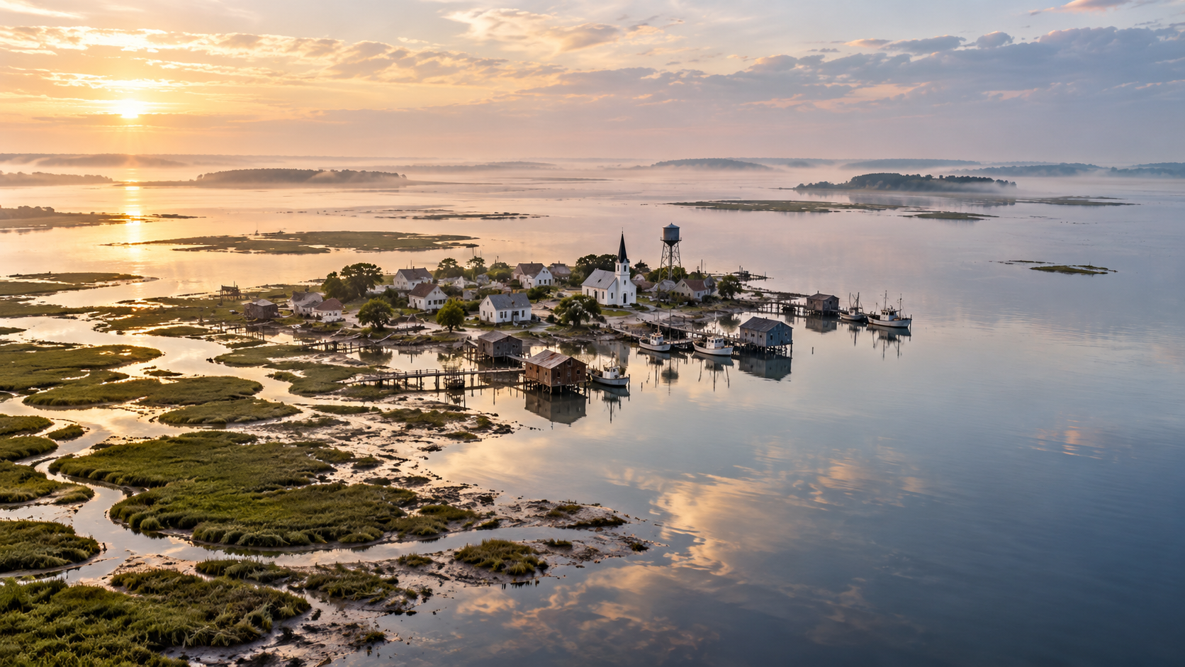
In the middle of the Chesapeake Bay, about 12 miles from the nearest mainland town, lies a low, marshy island where the only town is built on a few strips of higher ground connected by small bridges. This is Tangier, Virginia, one of the last inhabited islands in the Chesapeake. Tangier was settled in colonial times, and for generations its people have made their living on the water as watermen, crabbing and oystering in the bay. The island is especially known for its soft-shell crabs. Cut off from the mainland, Tangier developed its own culture and its own way of speaking. Islanders have a distinctive accent, with a tendency to stretch out vowels, along with words and phrases you won't hear anywhere else. Linguists often attribute it to the island's isolation. The island is also disappearing. Rising water, sinking land and erosion have taken about two-thirds of Tangier's land since 1850. The island sits only a few feet above sea level, and storms regularly push water into the town. A channel cut through the island in 1966 has been linked to worsening erosion. In some places, the shoreline has been retreating about 32 feet a year. The low marshes that once buffered the island have been breaking apart, and gaps have opened between Tangier and its neighboring islands. The population has shrunk too. From about 1,100 people in the early 1900s, it fell to 436 in the 2020 census, and recent reports put it closer to 250. Young people leave for jobs on the mainland, and older residents are dying. In 2015, an Army Corps of Engineers study by marine biologist David Schulte drew national attention: if the losses continued, it estimated, residents would likely have to abandon the town within 25 to 50 years. There have been defenses. In 1990, the Corps built a 5,700-foot seawall on the island's west side, and it has largely stopped erosion there. A stone jetty to protect the harbor followed around 2020. But estimates for fully protecting and restoring the island run to $250 million to $350 million, far more than has been secured. For now, the watermen of Tangier still head out on the bay each morning, from the island where their families have lived for generations.
Last corrected: Oct 6, 2026.
Grew up near here?
Get the free Virginia guide: every Hidden Current place in the region, with what you can still see and how to get there.
State guides are coming soon. Email signup is not available yet.
Watch the short documentary
Tangier Island: The Chesapeake Bay Town Losing Ground to the Water, Virginia
Claim log
| # | Claim | Sources | Status |
|---|---|---|---|
| 1 | Tangier Island is at 37.8283' N, 75.9933' W |
| Sourced |
| 2 | Tangier's population was 436 at the 2020 census; since 1850, the island's landmass has been reduced by 67% |
| Sourced |
| 3 | A northern channel was cut through Tangier in 1966, and it has been linked to worsening shoreline erosion |
| Sourced |
| 4 | The persistence of Tangier's dialect is often attributed to the island's geographic isolation |
| Sourced |
| 5 | Rising seas, land subsidence and erosion have claimed about two-thirds of Tangier's land since 1850 |
| Sourced |
| 6 | A 2015 study found two-thirds of the island had disappeared since 1850 and calculated that residents would likely have to abandon the town within 25-50 years |
| Sourced |
| 7 | The population fell from a peak of 1,100 people in the early 1900s to 436 as of 2020 |
| Sourced |
| 8 | A $2.6 million jetty was completed on the northwest side of the island |
| Sourced |
| 9 | The island sits on average just three feet above sea level |
| Sourced |
| 10 | Schulte said the island will need to be abandoned in roughly 25-30 years |
| Sourced |
| 11 | A seawall was constructed on the island's west side in 1990, and a stone jetty to protect the harbor was installed in 2020 |
| Sourced |
| 12 | The most recent census estimate puts the population at 240 |
| Sourced |
| 13 | The Army Corps of Engineers built a 5,700-foot seawall on the western shoreline in 1990; a jetty was built in 2021 |
| Sourced |
| 14 | About 250 people now live on Tangier |
| Sourced |
| 15 | Parts of the island have experienced land loss of 32 feet a year |
| Sourced |
| 16 | A 2015 study predicted the area could become uninhabitable by 2065 |
| Sourced |
| 17 | Schulte predicts that by 2053, residents will no longer be able to live on Tangier |
| Sourced |
| 18 | The 2020 census reported 430 residents, while other sources put the number closer to 252 |
| Sourced |
| 19 | Residents have a unique cadence with "a tendency to prolong a vowel" |
| Sourced |
| 20 | The 1990 seawall has successfully prevented erosion on the west side, while the east side is battered by wind-driven waves |
| Sourced |
| 21 | Over $10 million has been secured, short of the estimated $250-350 million needed to protect and restore the island |
| Sourced |
| 22 | The town of Tangier is three low-lying islands joined by small bridges, about four feet above sea level |
| Sourced |
| 23 | Ferry service from Onancock has been suspended; a year-round mail boat runs from Crisfield except Sundays and requires an overnight stay |
| Sourced |
| 24 | Crisfield is about 12 miles from Tangier, and ferry service depends on the weather |
| Sourced |
| 25 | The Chesapeake Breeze runs from Reedville in summer |
| Sourced |
Disagreements logged
No approved disagreements are logged on this page yet.
Submit a disagreement
Disagree with a fact in this story? Submit a source-backed note for editorial review. It stays private until approved and does not automatically become a correction.
Sources
- usharbors.com
- Wikipedia
- Bay Journal
- WGBH
- Inside Climate News
- WUSA9
- Baltimore Sun
- Virginia Mercury
- VPM
- thecooldown.com
- Virginia Department of Wildlife Resources
- soundingsonline.com
Corrections
| # | Correction | Sources |
|---|---|---|
| 1 | The island is not shrinking slowly in all places; parts have lost up to 32 feet of land a year |
|
| 2 | Sources disagree on the population: 436 in the 2020 census |
|
| 3 | Sources disagree on the population: about 250 today |
|
| 4 | Sources disagree on the population: 240 |
|
| 5 | Sources disagree on when the town may need to be abandoned: within 25-50 years |
|
| 6 | Sources disagree on when the town may need to be abandoned: roughly 25-30 years |
|
| 7 | Sources disagree on when the town may need to be abandoned: uninhabitable by 2065 |
|
| 8 | Sources disagree on the jetty's completion: 2020 |
|
| 9 | Sources disagree on the jetty's completion: 2021 |
|
| 10 | Ferry service from Onancock is listed by some sources but has been reported as suspended |
|
Hidden Current within 100 miles
More Isolated Places places
- The Island Almost Nobody Can Reach
- Supai, Arizona: The Village With No Road Where Mail Comes by Mule
- Kiruna, Sweden: The Arctic City Moving to Escape Its Own Mine
- Whittier, Alaska: The Town That Lives in One Building
- Bluie East Two: The WWII Air Base Abandoned in Greenland
- Point Roberts: The U.S. Town You Reach by Driving Through Canada