
Places That Shouldn't ExistLake BerryessaGlory HoleMonticello
Lake Berryessa: The Drowned Town and the Glory Hole, California
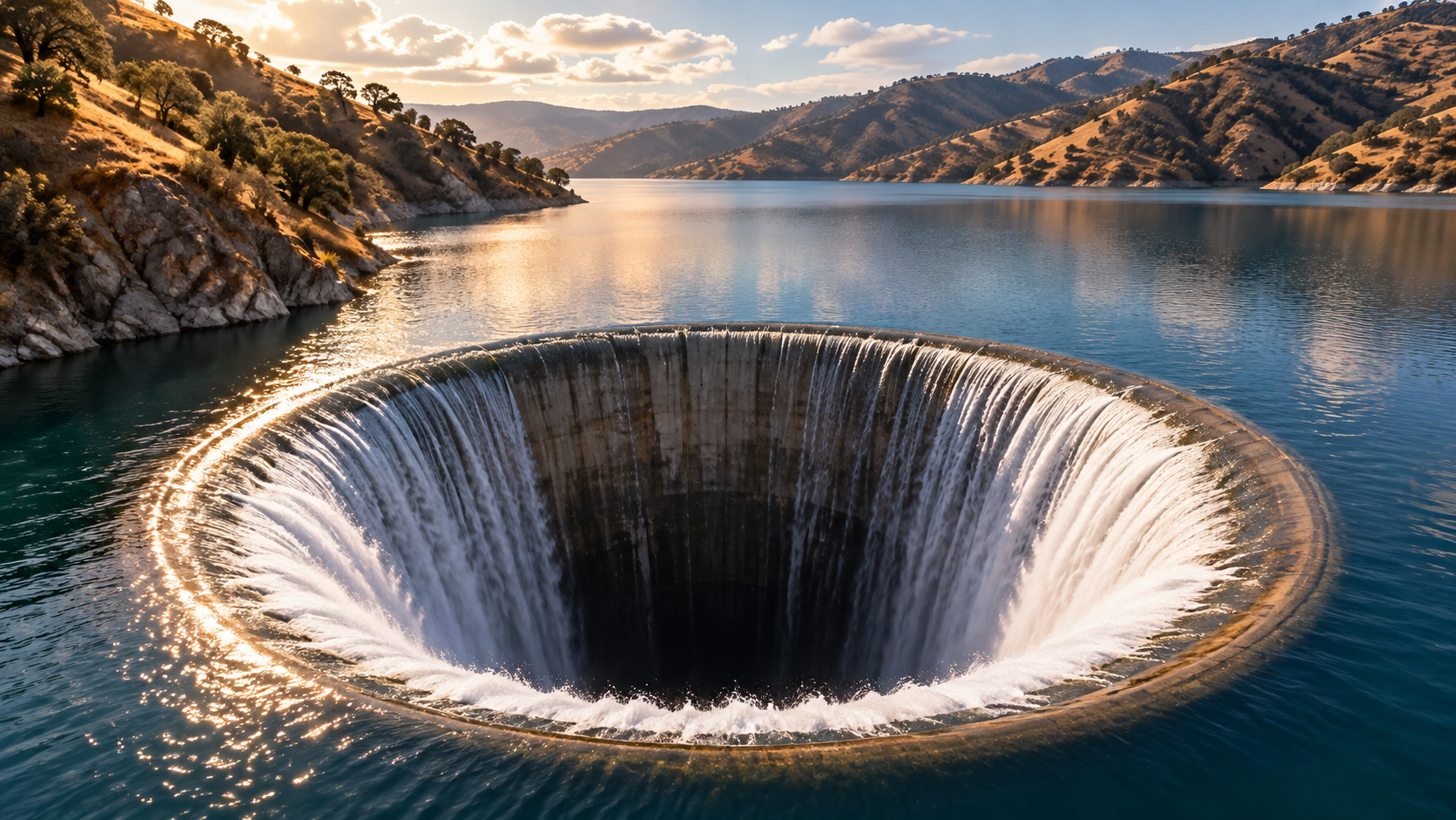
Lake Berryessa drowned the 1866 town of Monticello. When it tops 440 feet, excess water pours into the Glory Hole, a 72-foot-wide concrete spillway.
Every claim sourced
20 claims · 20 sources
0 disagreements logged
3 editorial corrections
Last checked Oct 8, 2026
The story
The numbered claim log below connects facts in this story to their sources.
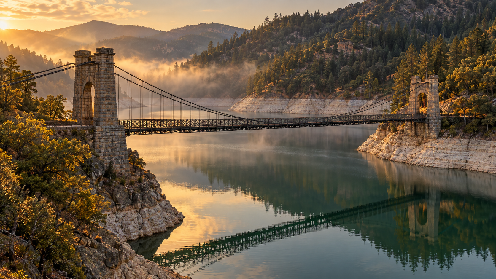
In 1866, developers split up a large ranch in the Berryessa Valley of Napa County and laid out a town called Monticello. By 1870, it had hotels, blacksmith shops, a general store and a cemetery. For about 90 years it was a quiet farm town along Putah Creek. Then the region needed water. The Solano Project was created in 1947, and despite residents’ protests, construction on a dam began in 1953. People moved away. Crews cleared trees, tore down fences and demolished buildings to their foundations. The cemetery was moved to Spanish Flat, a bluff overlooking the valley. The stone Putah Creek Bridge was too well built to tear down easily, so it was left behind. Monticello Dam was completed in 1957, and the water rose to form Lake Berryessa, which can hold about 1.6 million acre-feet. The town disappeared under it. Instead of a standard spillway, the engineers built a giant concrete funnel. The Glory Hole is 72 feet wide at the lake surface and narrows to about 28 feet as it drops through the hillside. When the lake rises past 440 feet above sea level, water pours over the rim, and at full flow it can carry 48,400 cubic feet per second out the other side. It’s dangerous. Swimming near the rim is prohibited, and in 1997 a swimmer was pulled into the drain. In wet years, people gather to watch the lake pour into the funnel, as it did in 2017, 2019 and 2025.
Last corrected: Oct 8, 2026.
Grew up near here?
Get the free California guide: every Hidden Current place in the region, with what you can still see and how to get there.
State guides are coming soon. Email signup is not available yet.
Watch the short documentary
Lake Berryessa: The Drowned Town and the Glory Hole, California
Claim log
| # | Claim | Sources | Status |
|---|---|---|---|
| 1 | Monticello Dam coordinates are 38°30′48″N 122°06′15″W. |
| Sourced |
| 2 | Monticello town coordinates are 38°34′40″N 122°12′26″W. |
| Sourced |
| 3 | The town of Monticello was platted in 1866. |
| Sourced |
| 4 | By 1870 Monticello had a cemetery, a general store, blacksmith shops, and hotels. |
| Sourced |
| 5 | A post office operated from 1867 to 1956. |
| Sourced |
| 6 | The Solano Project was formed in 1947, and residents protested the dam. |
| Sourced |
| 7 | Construction started in 1953. |
| Sourced |
| 8 | Crews demolished buildings to their foundations. |
| Sourced |
| 9 | The town cemetery was moved to Spanish Flat. |
| Sourced |
| 10 | The Putah Creek Bridge was left in place to be covered by the water. |
| Sourced |
| 11 | Monticello Dam was completed in 1957. |
| Sourced |
| 12 | Monticello Dam is 304 ft tall and operated by the Bureau of Reclamation. |
| Sourced |
| 13 | Lake Berryessa has a capacity of 1,602,000 acre-feet. |
| Sourced |
| 14 | The reservoir completely flooded the town of Monticello. |
| Sourced |
| 15 | The Glory Hole is 72 ft in diameter at lake level, narrowing to about 28 ft at the exit. |
| Sourced |
| 16 | The spill elevation is 440 ft above sea level. |
| Sourced |
| 17 | Peak discharge is 48,400 cubic feet per second. |
| Sourced |
| 18 | The spillway spilled on February 16, 2017, February 26, 2019, and February 10, 2025. |
| Sourced |
| 19 | Swimming near the Glory Hole is prohibited. |
| Sourced |
| 20 | The only known death from the spillway drain was in 1997. |
| Sourced |
Disagreements logged
No approved disagreements are logged on this page yet.
Submit a disagreement
Disagree with a fact in this story? Submit a source-backed note for editorial review. It stays private until approved and does not automatically become a correction.
Sources
- Wikipedia
Corrections
| # | Correction | Sources |
|---|---|---|
| 1 | The lake itself does not disappear: only water above the 440-foot spill elevation drains into the Glory Hole. |
|
| 2 | The Glory Hole is at Monticello Dam, several miles from the submerged Monticello town site. |
|
| 3 | Most of Monticello's buildings were demolished before flooding, and the cemetery was moved; the Putah Creek Bridge was left in place. |
|
Hidden Current within 100 miles
More Places That Shouldn't Exist places
- Parícutin: The Volcano That Was Born in a Farmer's Cornfield
- Ferropolis: Germany's City of Iron Built From Giant Mining Machines
- Barra Airport: Where Scheduled Flights Land on a Beach
- Reelfoot Lake: The Tennessee Lake Created by an Earthquake
- Hashima Island: Japan's Abandoned Battleship Island
- Lake Resia: The Bell Tower of the Village Beneath the Water