
Hidden Beneath Citiesundergroundrivercities
Underground river beneath a City, Phiadelphia
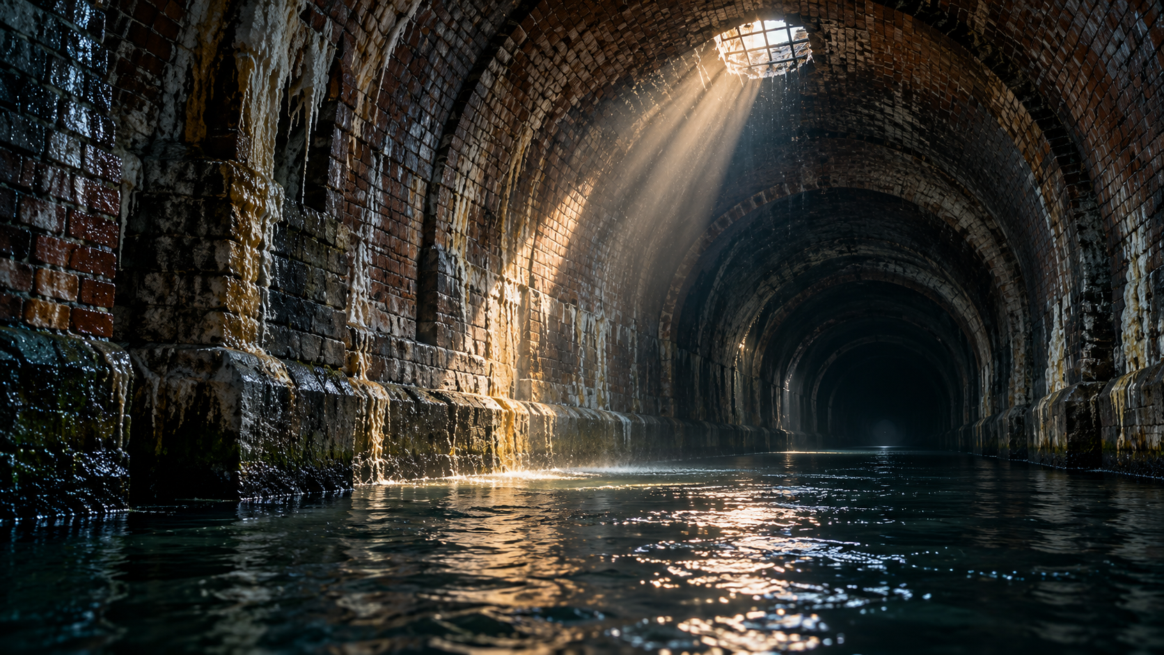
A creek still runs beneath West Philadelphia, and sometimes it comes back up. Beginning in 1869, Philadelphia enclosed Mill Creek in a brick sewer about 20 feet across and buried it under as much as 35 feet of fill. Row houses were built right on top.
Every claim sourced
15 claims · 15 sources
0 disagreements logged
1 editorial correction
Last checked Oct 2, 2026
The story
The numbered claim log below connects facts in this story to their sources.
In the early 1800s, Mill Creek was a working stream. It rose in Montgomery County, entered what became West Philadelphia near today's City Line Avenue and 63rd Street, and ran about five miles southeast to the Schuylkill River, powering sawmills and gristmills along the way. It was fast, and it flooded. After the Civil War, as the city laid its street grid over West Philadelphia, planners decided to put the creek underground. Beginning in 1869, crews enclosed it in a brick sewer about 20 feet across and buried it under landfill up to street level. In places the fill sits as much as 35 feet above the old creek bed. Landscape historian Anne Whiston Spirn later gave the result a name: a "buried floodplain." Rows of houses were built directly on top of it, and a 1927 atlas shows the sewer's curving line running under the homes. The creek didn't stop being a creek. As West Philadelphia and the suburbs upstream filled in with pavement and buildings, more and more stormwater and sewage poured into a pipe too small to carry it. The sewer carries the waste and stormwater from half of West Philadelphia and from suburbs upstream. Under that pressure it overflowed, and sometimes it gave way. In the early 1940s, 47 homes above the sewer were demolished because they were overrun with rats and sewer gas. In 1945, a block of row homes built over the sewer on the site of a former mill was destroyed when the pipe collapsed. In 1952, a cave-in swallowed a car and a pickup truck, and after more rain the street kept sinking, taking the front porches of dozens of homes. The worst came on July 17, 1961. The sewer caved in beneath Funston Street near 50th Street. Four houses were destroyed and three people were killed, including a nine-year-old boy. More than 100 homes along the sewer line were then condemned and demolished, leaving hundreds of people homeless. Many residents had bought their homes without knowing the neighborhood was named for a creek running beneath it. Today, an interceptor tunnel carries Mill Creek's flow to the city's Southwest treatment plant, but heavy rain still turns the culvert into a raging underground river, and flooding happens when water backs up out of the street drains. Much of the land where houses once stood has become woodland, meadow and community gardens, and one garden on Aspen Street has been growing on a former residential lot since 1975. Since 1987, Spirn's West Philadelphia Landscape Project has worked with residents, students and the Philadelphia Water Department to map the buried floodplain and plan green spaces that hold stormwater instead of fighting it. The creek has been out of sight for more than 150 years, and it's still running.
Last corrected: Oct 3, 2026.
Grew up near here?
Get the free Phiadelphia guide: every Hidden Current place in the region, with what you can still see and how to get there.
State guides are coming soon. Email signup is not available yet.
Watch the short documentary
Underground river beneath a City, Phiadelphia
Claim log
| # | Claim | Sources | Status |
|---|---|---|---|
| 1 | The Mill Creek neighborhood lies between 44th and 52nd Streets, north of Market Street and south of Girard Avenue |
| Sourced |
| 2 | Mill Creek ran from near City Line Avenue and 63rd Street about five miles to the Schuylkill below Baltimore Avenue, near Woodlands Cemetery |
| Sourced |
| 3 | Mill Creek ran from near City Line Avenue and 63rd Street about five miles to the Schuylkill below Baltimore Avenue, near Woodlands Cemetery |
| Sourced |
| 4 | Beginning in 1869, the creek was enclosed in a brick sewer about 20 feet in diameter, covered with fill up to as much as 35 feet above the creek bed |
| Sourced |
| 5 | The creek was buried in a sewer in the 1880s; the 1927 atlas shows the sewer under the houses |
| Sourced |
| 6 | The sewer carries waste and stormwater from half of West Philadelphia and upstream suburbs, in a pipe too small for the load |
| Sourced |
| 7 | 47 homes were demolished in the early 1940s; row homes on the former Blundin Mill site were destroyed by a collapse in 1945 |
| Sourced |
| 8 | In 1952 a car and a pickup truck fell into the sewer, and further collapse damaged dozens of front porches |
| Sourced |
| 9 | On July 17, 1961, beneath Funston Street near 50th, four houses were destroyed, three people were killed, and 111 homes were eventually condemned and demolished |
| Sourced |
| 10 | A nine-year-old boy was among those killed in the 1961 collapse |
| Sourced |
| 11 | Heavy rain forms a raging underground river in the culvert, and water backs up through the street drains |
| Sourced |
| 12 | Flow is directed to the Southwest Sewage Treatment Plant |
| Sourced |
| 13 | Woodlands, meadows and community gardens now grow on former home sites; the Aspen Street garden dates to 1975 |
| Sourced |
| 14 | Spirn has worked with residents and the Water Department since 1987 |
| Sourced |
| 15 | The floodplain's footprint is visible along 47th Street between Fairmount Avenue and Aspen Street |
| Sourced |
Disagreements logged
No approved disagreements are logged on this page yet.
Submit a disagreement
Disagree with a fact in this story? Submit a source-backed note for editorial review. It stays private until approved and does not automatically become a correction.
Sources
- Source needs identification
- Penn GSE
- West Philadelphia Collaborative History
- Anne Whiston Spirn
- Philadelphia Water Department
Corrections
| # | Correction | Sources |
|---|---|---|
| 1 | Mill Creek is a creek, not a river |
|
Hidden Current within 100 miles
More Hidden Beneath Cities places
- Underground City, Turkey (Derinkuyu Yeraltı Şehri)
- Cold War Military Command Center Inside a Colorado Mountain
- Chicago's Deep Tunnel: 109 Miles of Tunnels That Swallow Storms
- Kincaid's Cave: The Grand Canyon Egyptian Cave That Never Was
- Seattle Underground: The City Buried After the Great Fire of 1889
- Mail Rail: London's Secret Underground Railway for the Post